Albemarle, NC – Hattaway Mountain is a modest mountain in central portion of Morrow Mountain State Park. As part of Uwharrie Mountains, it is one of the oldest mountains in North America. Starting at the park’s swimming pool, the trail moves counter-clockwise around the base of the mountain, before heading up to the summit and returning back down to the start . Totaling at almost 2 miles (total), the trail ascends to a point 436′ higher than where you start and can be finished in around 1 hour (total).
Trail Description
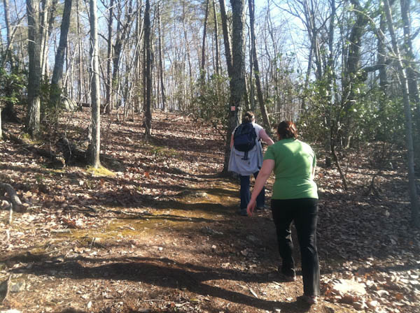
Morrow Mountain State Park, located in the piedmont of North Carolina, preserves the remnants of the mighty Uwharrie Mountains. In the central section of the park is the modest Hattaway Mountain. The trail that summits it is a moderate hike that almost anyone can do.
Beginning at Swimming Pool, the trail begins and immediately heads into the densely wooded terrain. Shortly after starting, there is a t-junction, this is where the trail separates into the loop portion. Taking a right here, the trail follows the base for around 3/4 of a mile. The terrain here is undulating, cross over several small streams flowing away from the mountain and their subsequent ridge lines. In a bit of randomness, water line boxes litter this portion of the trail.
After a sharp left-hand turn the trail immediately heads up to the higher elevations. The trail here is very poorly designed, moving up one of the steepest slopes with no effort made to create switchbacks. At the top, it levels off for a short period before heading back down again. Switchbacks are utilized here, forging a nice, even slope down the mountain before returning to the main junction, and then back to the trailhead.
Giving some thought to the trail afterwards, we agreed that it was best to attack it by taking a right at the junction. The steepest portion of the trail averages around a 30% slope. We all agreed this was easier to walk up, as opposed to down, especially with a layer of slick leaves covering the trail. This means that at the junction you would take a right and move counter-clockwise through the loop.
Trail Data
[gps-data-up distance=”1.75″ elevationdifference=”436″ climb=”550″ descent=”480″ time=”1 hours total”]Trail Map
[gps-iframe urlbase=”morrow_mountain_sp/hattaway_mountain_trail/hattaway_mtn_trail” height=”496″]Trail Elevation Profile
[gps-elevation trailname=”Fall Mountain Trail” urlbase=”morrow_mountain_sp/hattaway_mountain_trail/hattaway_mtn_trail”]Trail Photos
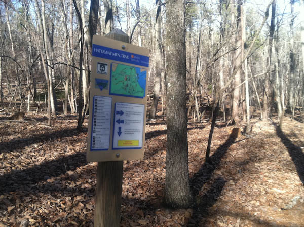
View of a sign at the major trail junction
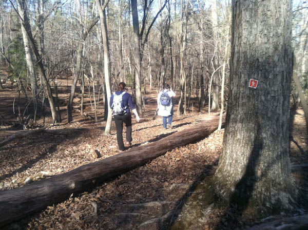
View of the trail with orange square blazes
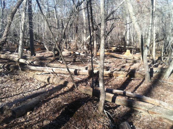
Fallen trees that litter the landscape on the lower sections of the trail
One of the many dips in the trail elevation
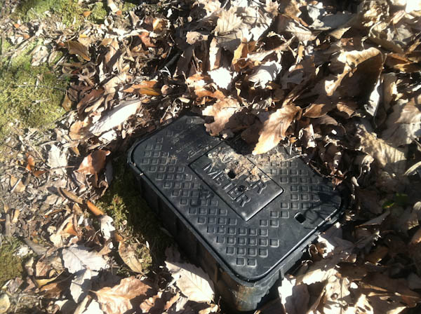
One of the many strange water meter boxes along the trail
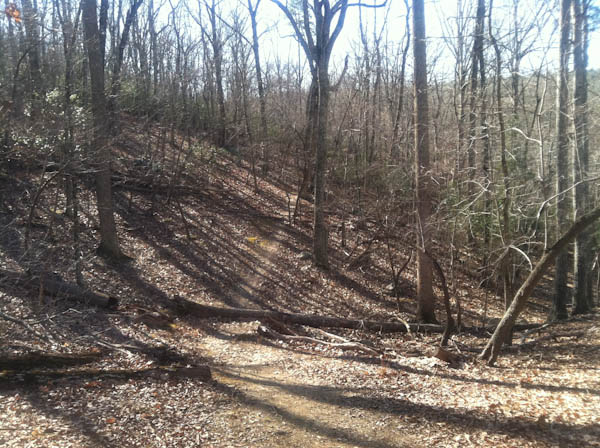
View of the steep section on the east side of the mountain
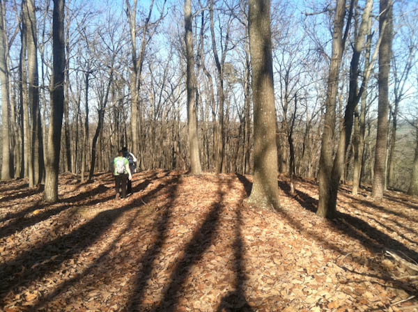
View of the summit area
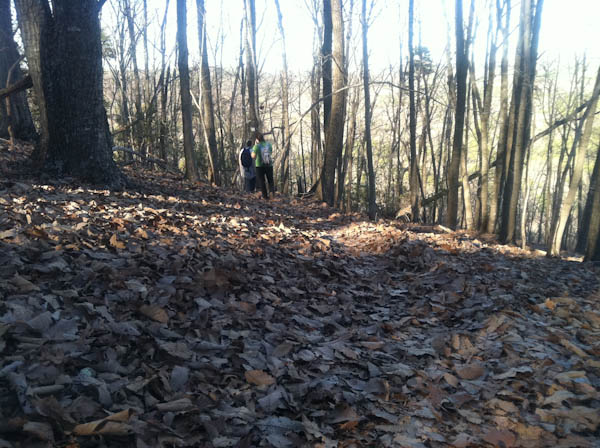
Leaf covered trail on the western slopes