West Augusta, VA – A short drive west on US 250 leaving Staunton, travelers will come upon another slice of the remote George Washington National Forest. Here, a rocky mountain stream and wooded valley surrounded by towering mountains help to create an awesome loop trail. At a length of 16.8 miles (round-trip), this strenuous hike ascends around 2000′ and makes a perfect weekend trip.
Trail Description
Parking for the trailhead is at the very end of the Ramsey’s Draft Wilderness drive. An information board marks the trailhead and encourages you to sign-in before heading out. Take your first right onto the Bridge Hollow Trail. Your first draft crossing, and most challenging due to the width, is the first obstacle. The trail ascends quickly after the crossing, gaining around 700 feet before the junction with the Bald Knob Trail. Turn left here and continue upward.
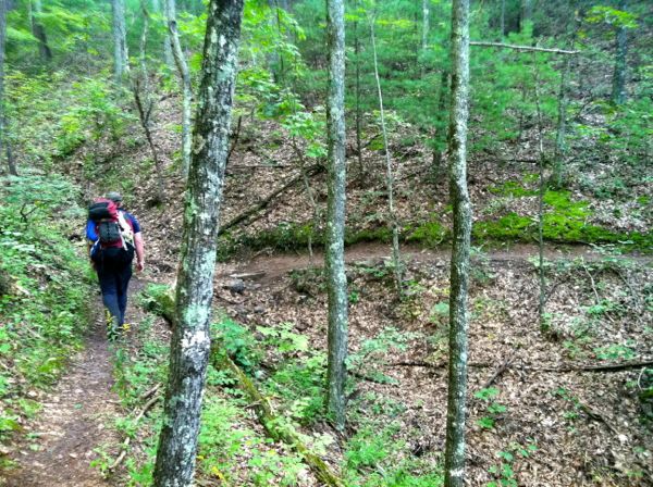
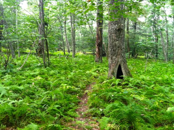
The next 6 miles takes you along an undulating and wooded ridge-line. Depending upon the time of year, the ground vegetation can get a little thick. Keep a sharp eye on the trail because it is easy to miss a jog and end up on a precarious slope. Before cresting the highest elevation at Big Bald Knob, you’ll pass the Dividing Ridge junction. There is a stagnant pool of water here. After a steep climb, the trail gradually descends to it’s end at the Hiner Springs Trail. Keep an eye out for briar patches, especially on some of the higher elevations.
At the junction, take a left onto the Hiner Springs Trail. It will gradually ascend and open up at the springs. There are several really good campsites here, complete with fire pits and stone seating. The spring is nearby and is a good source for water.
Continuing through the camping area will take you to the junction with the Hardscrabble Knob trail. This is a lush trail that leads to the forested summit of Hardscrabble Knob. Here there are several large rock outcroppings that can be scaled for a better view. Keep a lookout for the fire tower ruins before heading back down.
The Ramsey’s Draft trail returns you to the parking area and is mostly down hill. While this may sound easy, it’s a challenging 7-mile trail that is littered with fallen Hemlocks and crosses the ever-growing draft 14 different times. Along the way, you’ll pass several great campsites.
A little more than halfway down, the trail becomes what looks like a very old road. According to Wikipedia, the 3 mile section of road was constructed by the Civilian Conservation Corps in 1930s and existed until 1969 when it was heavily damaged by heavy rains and flooding from Hurricane Camille. When returning to the parking area, don’t forget to sign-out.
This loop makes a perfect weekend backpacking destination – one can arrive Friday, hike out to Shiner Springs on Saturday and back to the parking area on Sunday. Given it’s length, remoteness and around 2000 feet of elevation climb, the hike is fairly strenuous and is not appropriate for beginners.
[link-related url=”http://www.hikingupward.com/gwnf/RamseysDraft/” subject=”Link to more info at Hiking Upward”]Trail Data
[gps-data-up distance=”16.8″ elevationdifference=”2008″ climb=”3520″ descent=”3520″ time=”2 days total”]Trail Map
[gps-iframe urlbase=”ramseys-draft/ramseys-draft” height=”496″]Trail Elevation Profile
[gps-elevation trailname=”Fall Mountain Trail” urlbase=”ramseys-draft/ramseys-draft”]Trail Photos
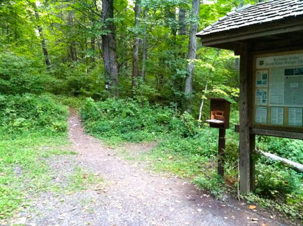
Ramsey's Draft Wildersness trailhead, at the end of the parking lot
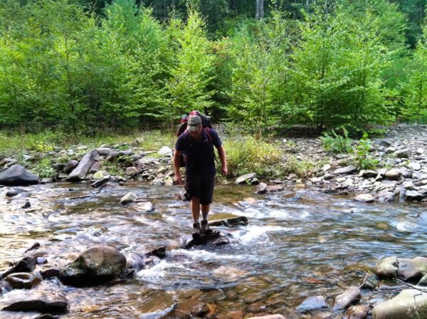
First crossing of Ramsey's Draft on the Bridge Hollow Trail
Bridge Hollow Trail
Narrow ridge along the Bald Knob Trail
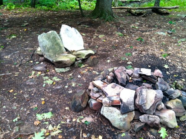
One of the many campsites at Hiner Springs
Ferns surrounding Hardsrabbie Knob Trail
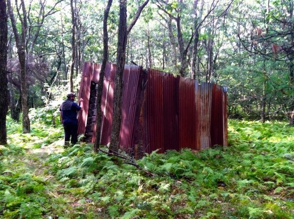
Cabin ruins at the top of Hardscrabbie Knob - look for the fallen fire tower as well
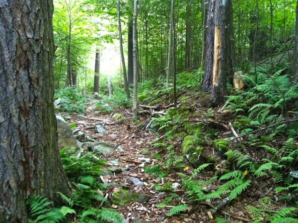
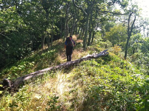
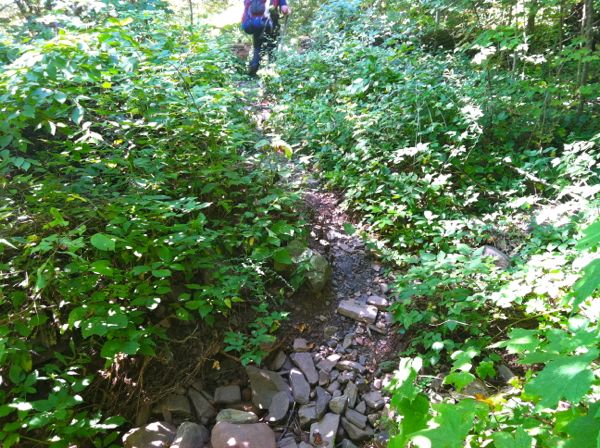
The upper portion of the Ramsey's Draft Trail
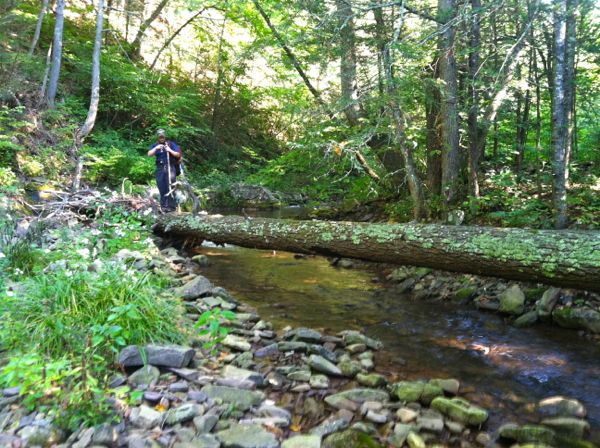
A large fallen tree crossing Ramsey's Draft
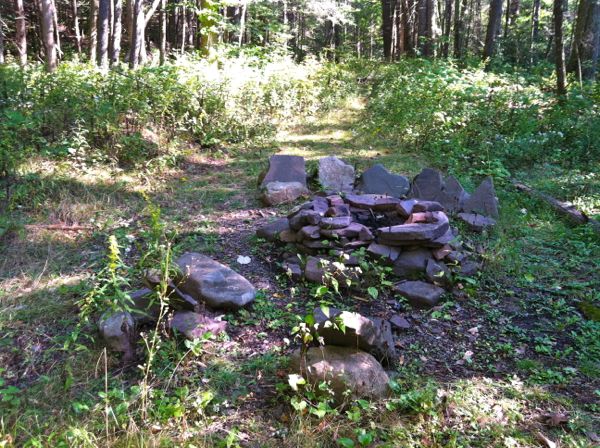
Photo of one of the many campsites along the draft
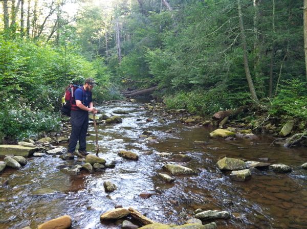
Typical draft crossing - follow the exposed stones, but watch out for slippery ones
The lower portion of the Ramsey's Draft Trail