Kings Mountain, NC – Leading to the summit of King’s Pinnacle, the pinnacle trail is the most difficult hike in Crowders Mountain State Park. Beginning casually at the visitors center, it transitions from a wide, smooth path to one that is steep and littered with large boulders and requires additional effort to overcome. totaling around 1.8 miles (one way), the trail ascends to a point 895′ higher than where you start and can be finished in around 1.25 hours (one-way).
Trail Description
Beginning at the trail-head, a wide path leads into the forest. Following the orange blazes, the trail comes upon a junction with the crowders trail – take a left here to continue up to the summit. The hike begins to wind up and onto a lower ridge where it gradually transitions from a wide and clear trail, to one narrow and littered with large rocks. After passing the camping trail junction, it gets especially rocky. The trail moves slightly back downhill before reaching the junction with the turnback trail – a left here would return to the parking area and ranger station. Continuing up, the trail becomes much steeper. A series of benches provide relief along the way to those who need it as the trail continues to gain altitude and approach the summit area.
Shortly after passing a junction with the connected ridge trail, the walk-up trail ends at a abrupt rock wall and signs warning of impending danger. The trail, however, continues up rock wall (which is easily scalable) and onto the top of the exposed rock area. Here, spectacular views are abound of the surrounding region. On a clear day, the highest of the appalachians to the northwest are visible and of course the Charlotte skyline to the east. A narrow trail leads through sparse brush to the summit (1704 ft).
The King’s Pinnacle trail is a moderate and sometimes strenuous day-hike that provides awesome views and vistas. Camping is available just off the pinnacle trail for $9 a night with well water and rudimentary pit toilets.
Trail Data
[gps-data-up distance=”1.8″ elevationdifference=”895″ climb=”938″ descent=”170″ time=”1.25 hours one-way”]Trail Map
[gps-iframe urlbase=”kings/kings” height=”496″]Trail Elevation Profile
[gps-elevation trailname=”King’s Pinnacle” urlbase=”kings/kings”]Trail Photos
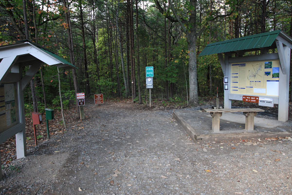
The Pinnacle Trail head
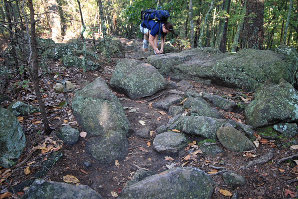
Large rocks litter the trail on the ridge approaching the pinnacle
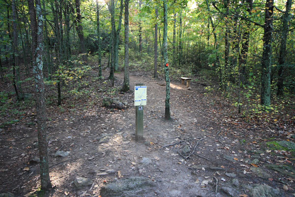
Turnback Trail junction, here the trail gets steeper
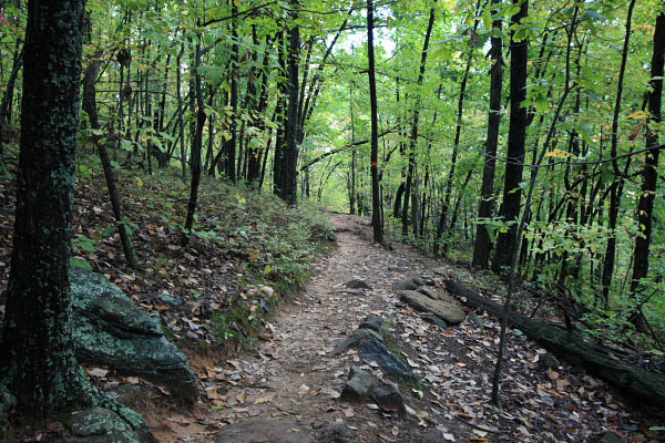
Dense forest approaching the summit
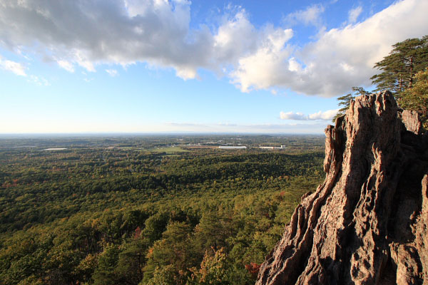
Northwestern view from the summit area
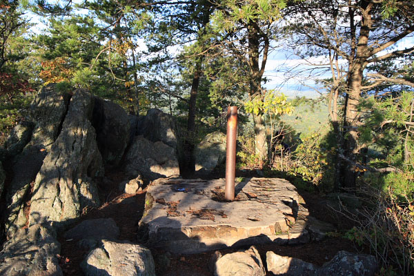
Summit, note the steel pipe
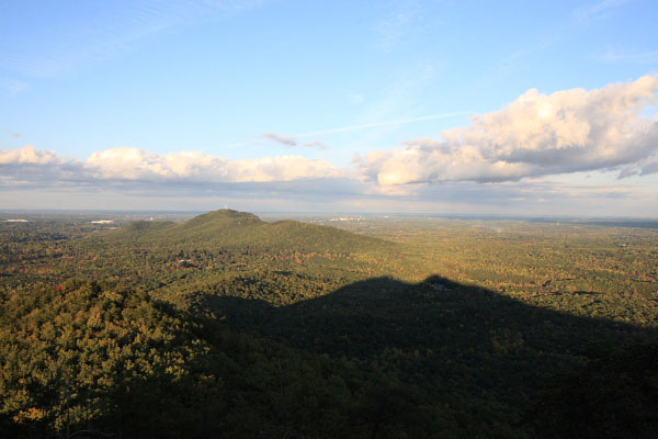
Eastern view - Crowder's Mountain, Gastonia, Charlotte and beyond