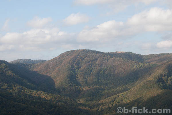
Sparta, NC – Doughton Recreation Area is a 6000 acre park located just off of the Blue Ridge Parkway between mile markers 238 and 244. In addition to the camping, historic homesteads, scenic vistas and the restaurant, hiking is a popular option due to the impressive network of trails generously connected to the parkway. Those looking for a challenge can combine the Cedar Ridge Trail and Flat Top Ridge Trail in to a 9.4 mile / 4 hour trail (total) that travels down 2070′ and then back up 1750′.
Trail Description
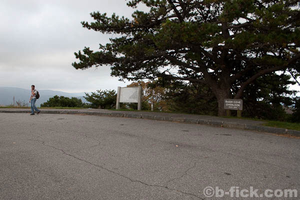
Before beginning the hike, it is important to consider transportation to and from the trails. Because the trail doesn’t start and end at the same place, it will be necessary either bring two cars, arrange a ride or turn the hike into a 16+ mile loop. In my case, I hiked with a friend and we both brought our cars, dropping one of them at the Basin Cove Overlook.
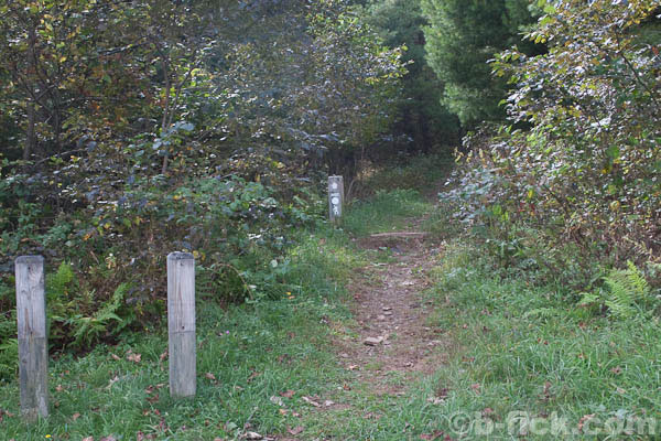
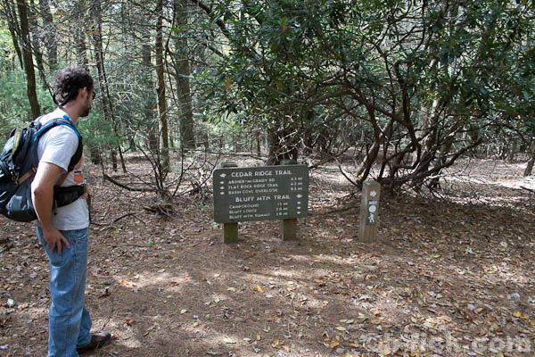
Beginning at the Brinegar Cabin, the trailhead is located at the end of the parking lot. It looks as if someone stole the trail marker because the only signage alerting visitors to the presence of a trailhead is a very small Mountains to Sea Trail sign. Continue up the slope and into the forest. After a short distance, hikers will come onto a junction – continue left to begin the downhill Cedar Ridge Trail.
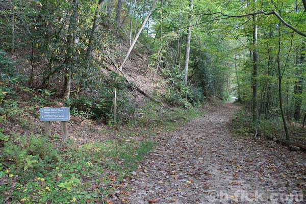
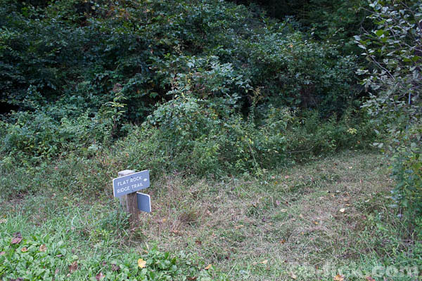
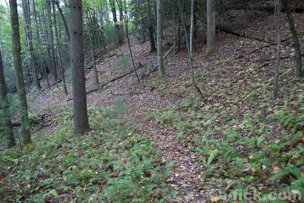
The Cedar Ridge Trail, as it is named, follows the Cedar Ridge line as it gradually slopes down. Switchbacks handle some of the steeper slopes. There aren’t many good vistas because the ridge is smooth and covered in trees. Towards the bottom, the trail moves from the ridge to the west slope and winds its way down to the Grassy Gap Fire Road. Take a left and head out to Longbottom Road, the Flat Top Ridge Trailhead is on the other side of Basin Creek.
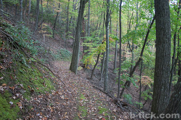
Following the small sign, the trail begins to head upward immediately. It curves up the slope to the ridge line quickly and continues up. The combination of ridge lines and knobs that the Flat Top Ridge Trail traverses isn’t as smooth as Cedar Ridge, so the trail uses switchbacks to navigate up the slope. After a slow and easy ascent onto the Flat Top Ridge, the trail descends 300 feet before finally ascending to the Basin Cove Overlook.
I hiked the trail with a friend in 3.5 hours at a quick pace, although it could take up to 2 hours more if you move more slowly and stop more often. The hike down in elevation is a moderate difficulty while the hike back up is strenuous.
If attacked early enough in the day, it would be possible to combine this with the Bluff Mountain Trail to create a 16+ mile loop. The Bluff Mountain Trail parallels the Blue Ridge Parkway from the Basin Cove Overlook to the Brinegar Cabin. It is an easy to moderate trail that is 7.5 miles in length.