Grandfather Mountain, NC – The Tanawha Trail passses through 3 counties and parallels the Blue Ridge Parkway from Beacon Heights to Julian Price Park. Beginning at Beacon Heights, one will hike moderate terrain to the Linn Cove Viaduct and then strenuous terrain up to Rough Ridge. There one will find spectacular vistas of the surrounding area. after a strenuous decent, a moderate hike through dense wooded terrain leads to an easy hike through meadows, eventually leading to Julian Price Park. totaling at 13 miles (one way), the trail beginning at beacon heights descends to a point 752′ lower than where you start and can be finished in around 7 hours (one way).
Trail Description
The Tanawha Trail passses through 3 counties and parallels the Blue Ridge Parkway from Beacon Heights to Julian Price Park. it was completed in 1993 and varies in difficulty. The easiest way to complete it is to start at Beacon Heights as it is the higher of the two ends. From there, the trail closely parallels the parkway through thick forests until it reaches the Linn Cove Viaduct visitors center.
Passing the visitors center, the trail proceeds under and around the viaduct and continues to follow the parkway to Pilot Knob, where it climbs to its highest elevation at Rough Ridge. Rough Ridge provides awesome vistas of Granfather Mountain and the lower plateau and is a good place to stop for lunch or just to rest. With the help of a series of boardwalks, the trail travels up and over the fragile flora at the top of rough ridge and then descends back down to the parkway.
With the hardest part of the trail completed, the remainder is a slow downhill treck through thickets of rhododendron and lush forests. The Grandfather Mountain Scout Trail is the next major landmark, following by Boone Fork Creek. At this point the trail jogs in and out of tall forests before emerging into a series of meadows. It becomes nothing more than a slightly beaten path in the grass and a series of arrowed signs as it winds back and forth over rolling hills and gets closer and closer to Julian Price Park. An old gravel road takes hikers to the edge of the park campground where one last segment of trail leads to the Tanawha Trail’s termination back at the Blue Ridge Parkway.
The best way to complete the trail in one day is to leave a car at Price park before driving to Beacon Heights. Due to the length, an out and back hike would be very difficult to accomplish in one day, although it would be possible to camp overnight at price park before returning the next day. The trail can be completed from end to end, at a brisk pace, in roughly 7 hours.
Trail Data
[gps-data-down distance=”13″ elevationdifference=”752″ climb=”2736″ descent=”3487″ time=”7 hours one-way”]Trail Map
[gps-iframe urlbase=”tanawha/tanawha_trail” height=”496″]Trail Elevation Profile
[gps-elevation trailname=”Tanawha Trail” urlbase=”tanawha/tanawha_trail”]Trail Photos
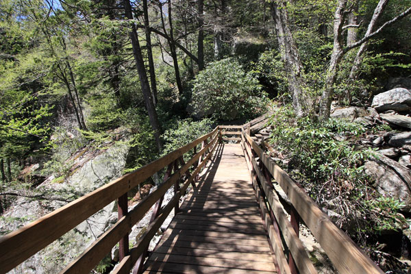
Bridge just west of the Linn Cove Viaduct

Linn Cove viaduct hovering above the trail
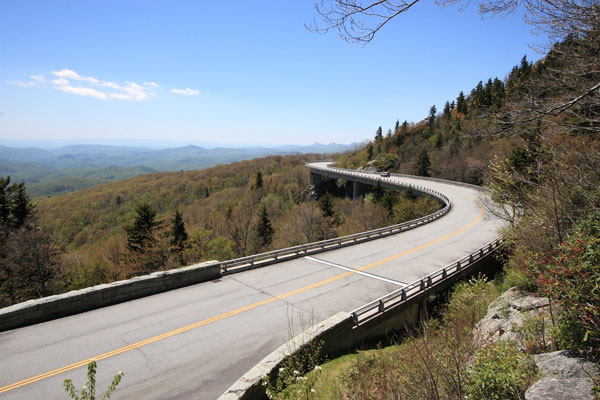
View of the Linn Cove Viaduct from just off of the trail
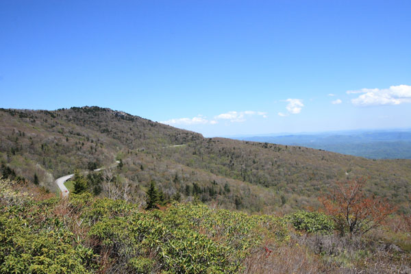
Looking towards Pilot Knob from Rough Ridge
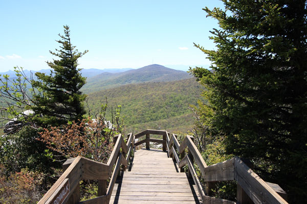
Boardwalk carrying hikers over the delicate terrain of Rough Ridge
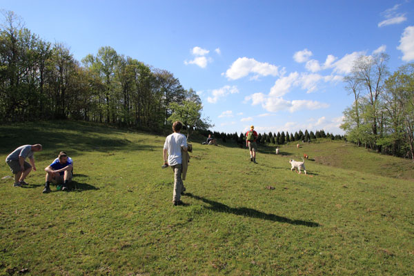
The first meadow along the approach towards Price Park
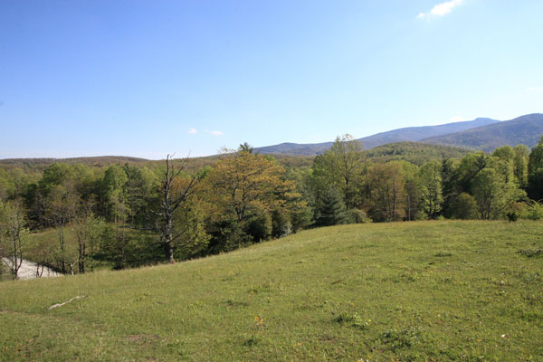
Looking back at Pilots Knob (center) and Grandfather Mountain (right rear)
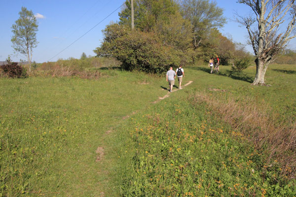
A lightly worn footpath directing hikers through the meadows