Albemarle, NC – Located adjacent to the upper end of Lake Tillery, Falls Mountain is a modest mountain in northern portion of Morrow Mountain State Park. Part of Uwharrie Mountains, it is one of the oldest mountains in North America. Starting riverside, the Fall Mountain Trail follows the river to the Yadkin Falls Dam, where it makes an abrupt left turn, heading up and over Fall Mountain before slowly returning to the starting point. Totaling around 4 miles (total), the trail ascends to a point 450′ higher than where you start and can be finished in around 3 hours (total).
Trail Description
Morrow Mountain State Park, located in the piedmont of North Carolina, preserves the remnants of the mighty Uwharrie Mountains. At the northern edge of the park is Fall Mountain and the Yadkin Falls Dam. This is the site for the Fall Mountain Trail.
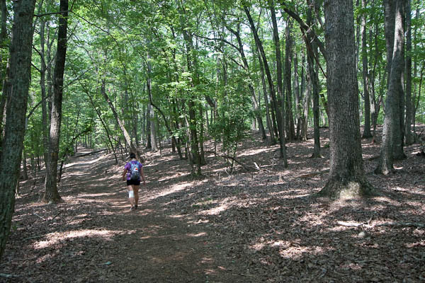
Beginning at the riverside parking lot, head towards the boat rental house – the trailhead is just beyond. The trail parallels the river for the next mile and a half until it reaches the dam. Good views of the swift water and dam can be found just off to the right of the trail. After making a sharp left hand turn it will begin to head uphill quickly. Rudimentary stairs and switchbacks get hikers up to the summit area rather quickly.
During the summer, the summit is a dense forest providing little in the way of views. The trail continues through this before starting to descend again. After about a 200 foot loss in elevation, the trail comes upon a junction with a closed fire trail – remain left to continue on the trail. After passing a gravesite to the right of the trail, it levels out and the forest becomes much more lush.
The last landmarks on the return to the parking area are two gravel roads and the junction with the Three Rivers Trail. Take a left at the junction and the parking lot will appear slightly uphill. Covering just a small part of the state park, this trail provides a good introduction to the area and the terrain.
Trail Data
[gps-data-up distance=”4″ elevationdifference=”450″ climb=”730″ descent=”725″ time=”3 hours total”]Trail Map
[gps-iframe urlbase=”morrow_mountain_sp/fall_mountain_trail/fall_mountain” height=”496″]Trail Elevation Profile
[gps-elevation trailname=”Fall Mountain Trail” urlbase=”morrow_mountain_sp/fall_mountain_trail/fall_mountain”]Trail Photos
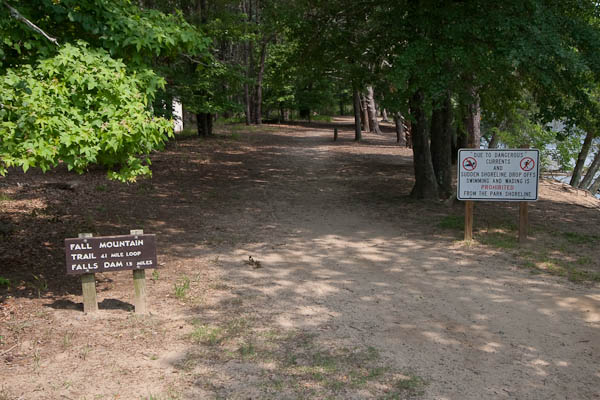
The Fall Mountain Trailhead
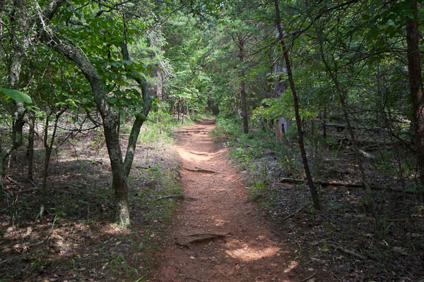
The lake-side trail
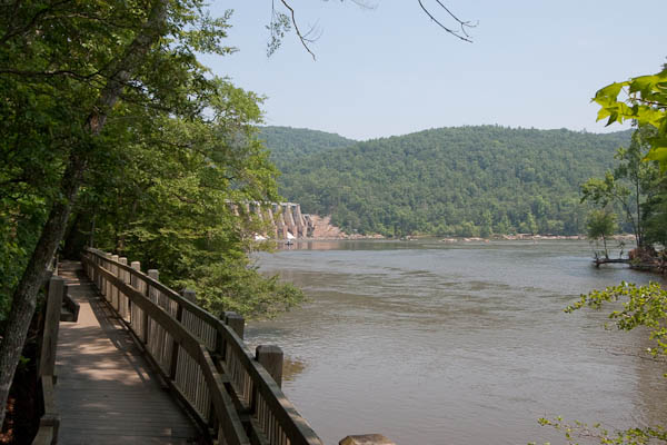
View of the dam from a wooden boardwalk
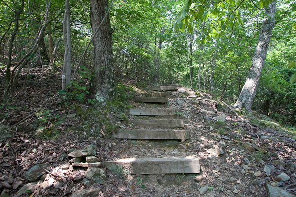
Stairs up the steeper slope near the dam
The forest at the top of Fall Mountain
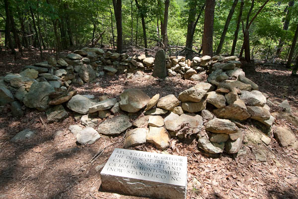
The grave of William M Gregor
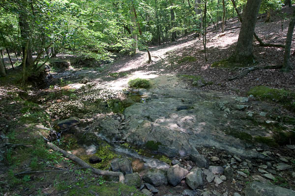
Stream crossing at a large boulder
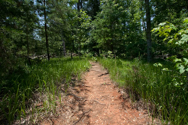
The trail as it traverses a grassy forest