Camden, ME – Located in the Camden Hills State Park, the Megunticook trail is actually the combination of 3 distinct trails, which allows one to hike from the harbor town of camden, up to the highest point on Mt. Megunticook (1385 ft). Consiting of strenuous hikes up steep rock faces to easy hikes through lush forests, the trail provides repeated challenges and rewards them with spectacular vistas of the Penobscot Bay and Atlantic Ocean. Totaling around 2.5 miles (one way), the trails ascend to a point 1580′ higher than where you start and can be finished in around 2 hours (one-way).
Trail Description
The highest peak in Camden Hills State Park, Mt. Megunticook can be reached by foot from the town of Camden utilizing three trails. Beginning at the lower Mount Battie trailhead, which is located at the end of Megunticook St. in Camden, the hike up to the summit of mount battie is the first leg of the expedition. This is the toughest part of the hike due to both the amount of exposed rock and the steep slope of the trail. Once at the summit, there are outhouses and water available before beginning the Tablelands trail. Hiking down into the valley between Mount Battie and Mt. Megunticook, the scenery changes completely as one transitions from small brush and stone into a lush forest. After crossing the auto road, the trail assumes a gradual slope up towards Megunticook. Once through the valley, the trail becomes more strenuous as rock faces and steep sections of the trail become common until arriving at the ocean lookout.
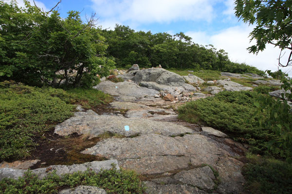
Perched at the top of a series of cliffs, the ocean lookout provides awesome vistas. Continuing to follow the light blue blazes on the exposed stone ground leads to the ridge trail, which finally ascends to the tree-shrouded summit of Mt. Megunticook. An elevation sign and delicately stacked pile of rocks are all that can be found here. From the summit there are numerous addtional trails that can be hiked if time and energy allows.
The hike from Camden to the summit of Mt. Megunticook can be done in about 2 hours. It’s worth spending some time at the ocean lookout as there is a lot to see and take in. Overall, this out and back hike is worth spending a whole day on. Be sure to bring a camera….
Trail Data
[gps-data-up distance=”2.5″ elevationdifference=”1200″ climb=”1580″ descent=”400″ time=”2 hours one-way”]Trail Map
[gps-iframe urlbase=”megunticook/megunticook” height=”496″]Trail Elevation Profile
[gps-elevation trailname=”Mt. Megunticook trail” urlbase=”megunticook/megunticook”]Trail Photos
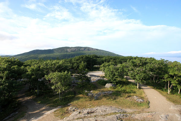
View of Mt. Megunticook from the stone tower on Mt. Battie
Blue-blazed trail winding up Mt. Battie
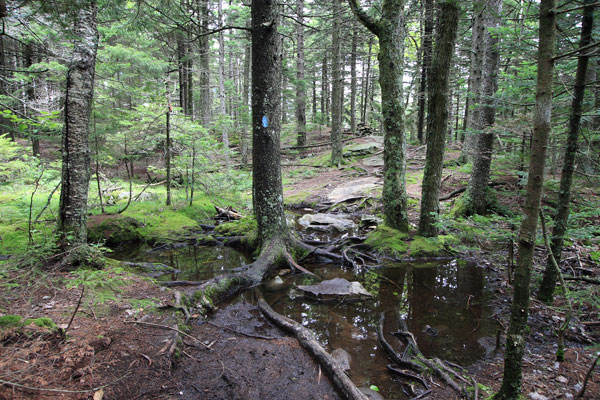
Flooded section of the Ridge Trail that feels almost tropical
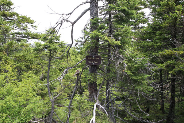
Elevation marker at Mt. Megunticook's summit (1385 ft)
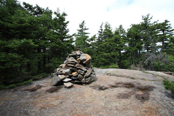
Mound of rocks at summit
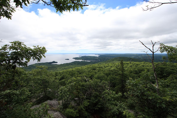
View of Camden and Penobscot Bay
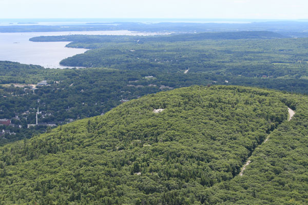
Mt. Battie below and the auto road