Yosemite National Park, CA – Traveling between two of the most popular areas of the park, the Four Mile Trail is one of the park’s rare trails that can be hiked in either direction. One can start at either Glacier Point and hike down or the floor of Yosemite Valley and hike up. Totaling around 4.8 miles (total) in length, the trail traverses 3200′ of elevation change and can be finished in around 3 hours (one-way).
Trail Description
Since there is road access to both the upper and lower trailheads, hikers have many options when deciding how to tackle the trail. The most popular way is to park at Glacier Point and hike down to the valley floor. This requires the least energy and just about anyone can do it. The way I chose to tackle it was to hike from the valley floor to Glacier Point. This requires ample amounts of water and the will to keep hiking.
The lower trailhead is located on Southside Drive, where there is a small parking area. Beginning here, the trail is paved for a short distance before it gradually begins to slope upwards through a thin forest. At the first signs of vertical stone, the switchbacks begin. The quality of the trail declines at this point – you will find it is generally made up of small stones and a very fine dust. In some locations, there will be enough loose material to make the trail slippery. The switchbacks continue upwards as the trail travels eastward.
At about the halfway point, hikers will come upon a junction to Union Point. The 200 foot long trail leads out to a small stone outcropping, however, the view is not very rewarding. There is one last section of switchbacks before the trail crests and levels out. There are some tight sections at this point where the trail sits precariously amidst a shear drop-off. It doesn’t last long, however, as the trail enters a forest of very large coniferous trees before arriving at Glacier Point. The hike up to Glacier Point is an excellent way to experience the true nature of Yosemite Valley – the higher you hike, the better the views get. From my standpoint, it is more rewarding to hike up and see the views get better and better.
I hiked the trail on a hot summer afternoon starting at 4pm. This worked out good as the temperature dropped over the course of the afternoon, providing relief on the more exposed sections of trail. Most importantly, we were treated to an excellent sunset view of Half Dome from Glacier Point. This worked because I had a ride waiting for me at Glacier Point. People who are on their own can ride a shuttle bus to Glacier Point and hike back down to the valley. Of course, those who choose do that will have to time their hike according to the bus schedule.
Trail Data
[gps-data-up distance=”4.8″ elevationdifference=”3180″ climb=”3300″ descent=”140″ time=”3 hours one-way”]Trail Map
[gps-iframe urlbase=”yosemites-four-mile-trail/four-mile-trail” height=”496″]Trail Elevation Profile
[gps-elevation trailname=”Four Mile Trail’s” urlbase=”yosemites-four-mile-trail/four-mile-trail”]Trail Photos
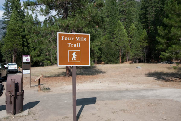
The Yosemite Valley Trailhead
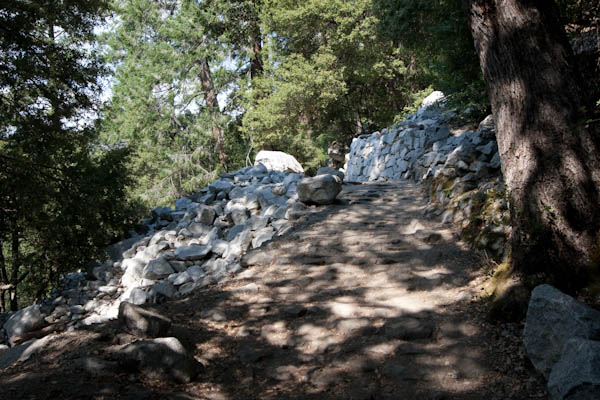
The lower trail
Switchback as the trail emerges from the trees
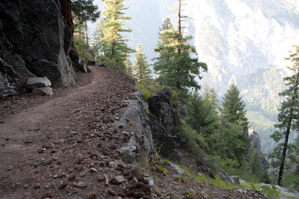
The trail as it approaches Union Point
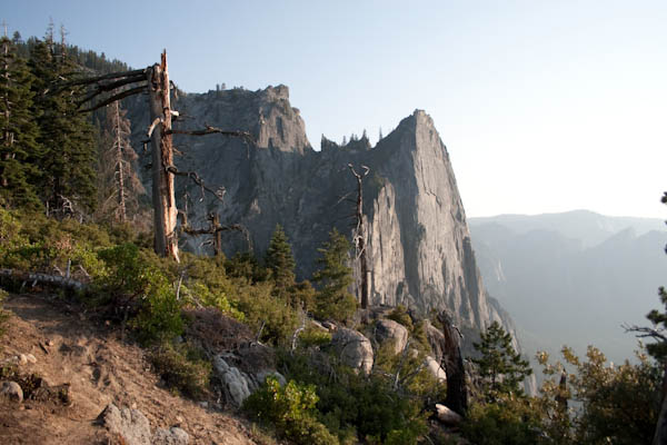
Western vista from the trail
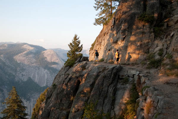
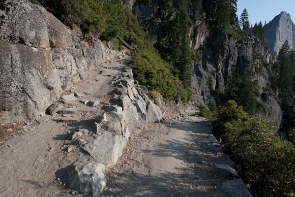
The trail as it negotiates a steep cliff
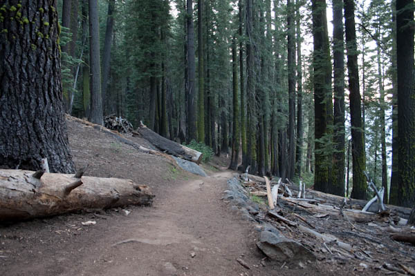
Tall pine forest near Glacier Point
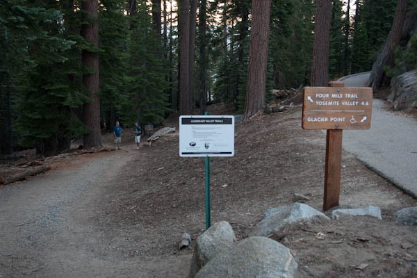
Trailhead at top of Four Mile Trail
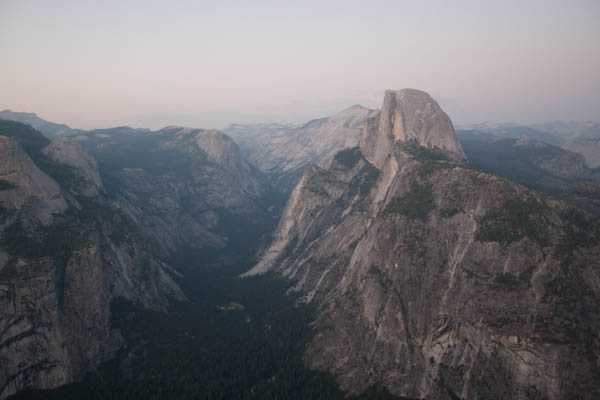
Half Dome from Glacier Point